7.1 National Gazetteer
The National Gazetteer of Cambodia provides a listing of all known provinces, districts, communes and villages at the time of publication and assigns a unique identifying code to each unit. This code consists of 8 digits. The first two digits indicate the province, the second pair the district, the third pair the commune and finally, the fourth pair indicates the village.
The Level One Survey used the 1998 version of the Gazetteer which had been modified and updated by CMAC. The list of villages contained in this version was used as a basis for deploying survey teams and the codes assigned to each of these villages were used as the basis of identification of each village within the L1S database. Although the Gazetteer provided an excellent foundation with regard to both planning survey activities and documenting survey results there were a number of significant inaccuracies and shortfalls that needed to be addressed.
1. The Gazetteer was outdated as the list of villages it contained was not entirely reflective of the situation on the ground:
Surveyors quickly discovered that some of the villages listed in the Gazetteer either no longer existed (had been abandoned) or were modified in some way from what was indicated (the name of the village was changed or the entire village had moved to a new location or was administrated by another commune). In some cases new villages not listed in the Gazetteer had come into existence. The Gazetteer also required amendment to take into account newly formed districts and communes.
Changes to the information provided in the Gazetteer were thoroughly documented during the course of the survey. By the end of the project, surveyors had identified 474 villages that were added to the original list of villages derived from the Gazetteer; had modified information on an additional 577 villages; and had deleted 25 villages from the list.
Villages not identified within the National Gazetteer did not have official identifier codes assigned to them. Database staff assigned unofficial codes to these villages to enable a clear identification of these villages within the L1S database. These codes will require updating when these new villages are eventually assigned official codes by the government.
2. Village coordinates provided in the National Gazetteer were not accurate and on occasion indicated a location that was many kilometers distant from the actual location of the village.
As soon as this problem was identified the L1S adopted a policy whereby surveyors recorded coordinates of every village visited. These coordinates were referred to as the village center point - usually the house of the village chief. If the village chief did not live within the village, the surveyors selected an alternative point to record.
3. Once the new village points were digitized, spatial queries in ArcView GIS were used the test whether the villages were actually located in the commune they were assigned to.
Quite frequently it was found that village points were outside their commune. In most of such cases commune boundaries and by aggregation, district and province boundaries were corrected to allow for spatial queries in GIS applications. All changes are documented in the files. The amended boundary files are purely a tool for the use of Level One Survey data and in no way are to be considered as official.

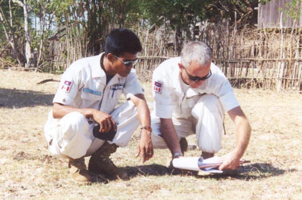
The QA/QC Team checks village coordinates


